
New Jersey Route 28
Route 28 | ||||
|---|---|---|---|---|
 | ||||
| Route information | ||||
| Maintained by NJDOT and Union County | ||||
| Length | 26.4 mi[1] (42.5 km) | |||
| Existed | 1927–present | |||
| Major junctions | ||||
| West end | ||||
| East end | ||||
| Location | ||||
| Country | United States | |||
| State | New Jersey | |||
| Counties | Somerset, Middlesex, Union | |||
| Highway system | ||||
| ||||

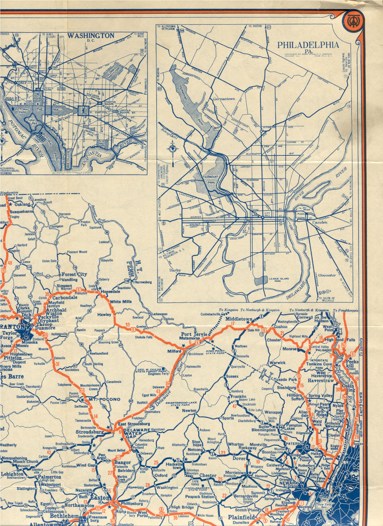
Route 28 is a state highway in the central part of New Jersey, United States that is 26.4 mi (42.49 km) long. Its western terminus is at US 22 in Bridgewater, Somerset County while its eastern terminus is at Route 27 in Elizabeth, Union County. From its western terminus, Route 28 heads east through Raritan, intersecting with CR 567 and then US 202/US 206 at the Somerville Circle before heading through the central part of Somerville. Past Somerville, the route interchanges with Interstate 287 in Bridgewater before intersecting many 500-series county roads including CR 525 and CR 527 in Bound Brook, CR 529 in Dunellen, Middlesex County, CR 531 in Plainfield, Union County, and CR 509 in Westfield. Route 28 continues east, intersecting with Route 59 and interchanges with the Garden State Parkway in Cranford before heading to Elizabeth, where it crosses the intersection of Route 439 before ending at Route 27. Route 28 is a two- to four-lane road its entire length that passes through suburban areas and runs within a close distance of NJ Transit’s Raritan Valley Line for much of its length.
Prior to 1927, Route 28 was known as Route 9, which was designated in 1917 to run from Phillipsburg east to Elizabeth. With the creation of the U.S. Highway System in 1926, U.S. Route 22 was designated along with Route 28. In 1927, most of pre-1927 Route 9 became Route 28, with the exception of the route through Elizabeth, which became Route 27-28 Link as Route 28 followed present-day Route 439 to the Goethals Bridge. Also legislated at this time was a spur of Route 28 called Route S28, which became Route 18 in 1953. By 1941, U.S. Route 22 was moved off the Route 28 alignment in Phillipsburg, with US 22 Alternate (now Route 122) taking its place, as well as east of Bridgewater Township, where it was realigned to follow Route 28-29 Link and Route 29 to Newark. In 1953, the western terminus of Route 28 was moved to the intersection of the current Somerset County Route 614 and Route 22, in Branchburg. Sometime after 1990 it was moved east to its current location to allow for more local control of speed limits along Easton Turnpike, and the de-designated stretch was designated CR 614. A portion of the route in Elizabeth was realigned to replace Route 27-28 Link, with the former route becoming Route 439.
Route description
[edit]Somerset County
[edit]
Route 28 begins at an interchange with US 22 in Bridgewater, Somerset County, heading to the southeast on Easton Turnpike, a two-lane undivided road. Past this interchange, Easton Turnpike continues to the northwest as CR 614.[1] The route heads through predominantly residential areas, eventually forming the border between Raritan to the southwest and Bridgewater to the northeast. It intersects with First Avenue (CR 567) before heading into business areas, where it comes to the modified Somerville Circle, where Route 28 intersects with US 202/US 206.[1][2] This traffic circle has been modified to allow U.S. Route 202 to pass over and interchange with the circle, while US 206 and Route 28 continue through the circle.[2] Past the Somerville Circle, Route 28 becomes a 35 mph (56 km/h) road named West End Avenue that intersects with Frelinghuysen Avenue (CR 644) just before entering Somerville.[1] Here, the route passes residences and crosses the intersection of Mountain Avenue (CR 643) before coming to an intersection of Somerset Street (CR 626). At this intersection, Route 28 bears to the left and heads east on West Main Street, which proceeds through the business district of Downtown Somerville. The route becomes East Main Street upon crossing the intersection of North Bridge Street/South Bridge Street.[1][2]

Upon leaving the downtown area, the route turns north onto North Gaston Avenue and heads into residential areas again, with CR 612 continuing east on Main Street.[1][2] At the intersection with Union Avenue, Route 28 turns to the east to follow that road.[1] The route continues past residential neighborhoods containing some businesses, briefly forming the border between Bridgewater to the north and Somerville to the south before fully entering Bridgewater. It intersects with Finderne Avenue (CR 633) before crossing the Norfolk Southern Railway's Middle Brook Industrial Track line and intersects with Chimney Rock Road (CR 675), where Route 28 widens into a four-lane divided highway that heads through industrial and commercial areas.[1][2] The road makes an intersection of Promenade Boulevard (CR 685) before coming to an interchange with I-287.[1] Past this interchange, the route continues into Bound Brook as a two-lane undivided road and heads through business areas. In Bound Brook, Route 28 intersects with Thompson Avenue (CR 525) and Vosseller Avenue (CR 635) before heading into more residential surroundings and crossing the intersection of Mountain Avenue (CR 527).[1][2]
Middlesex and Union counties
[edit]_at_Middlesex_County_Route_529_(Washington_Avenue)_in_Dunellen,_Middlesex_County,_New_Jersey.jpg)
Upon crossing the Green Brook, Route 28 enters Middlesex in Middlesex County, where it becomes a four-lane undivided road that continues northeast through residential neighborhoods, intersecting with Raritan Avenue (CR 622). The route heads into a mix of residences and businesses, turning more to the northeast and becoming Bound Brook Road at the intersection with Marlborough Avenue.[1][2] It intersects with South Lincoln Avenue (CR 607), where Route 28 narrows to two lanes, and Warrenville Road before crossing into Dunellen.[1] Here, Route 28 heads east through residential and commercial areas before turning northeast to closely parallel NJ Transit’s Raritan Valley Line (which runs to the south of the route) as North Avenue. The route crosses the intersection of Washington Avenue (CR 529) in the downtown area of Dunellen.[1][2]
Route 28 crosses into Plainfield, Union County, where it becomes county-maintained West Front Street, resuming northeast through residential and industrial areas before entering a more residential environment. The road encounters a mix of residences and businesses before intersecting Plainfield Avenue, where CR 620 continues northeast on West Front Street and Route 28 turns to the southeast onto Plainfield Avenue.[1][2] The route crosses the Raritan Valley Line before turning northeast on a one-way pair, with eastbound Route 28 following West 5th Street and westbound Route 28 following West 4th Street. CR 603 continues southeast on Plainfield Avenue from this point.[1] The one-way pair, which has two lanes in each direction, passes residences before crossing the intersection of Park Avenue CR 531) in the commercial downtown area of Plainfield, coinciding with the directional change of 4th Street and 5th Street from west to east.[1][2] At the intersection of Roosevelt Avenue, Route 28 becomes 25 mph (40 km/h) two-way East 5th Street, with the name becoming South Avenue at the intersection of Richmond Street while Route 28 heads northwest on Roosevelt Avenue.[1] The route passes through urban residential and industrial areas, with the Raritan Valley Line located a short distance to the northwest.[2] The road extends through more suburban commercial areas before crossing the intersection of Terrill Road (CR 611), where Route 28 enters Fanwood. A short distance later, at the second intersection of Old South Avenue, the route becomes state-maintained again and continues past businesses, intersecting with Martine Avenue (CR 655) before it heads into residential neighborhoods and meets the intersection of Laurel Place (CR 601).[1][2]
_from_the_overpass_for_New_Jersey_State_Route_444_(Garden_State_Parkway)_in_Cranford_Township,_Union_County,_New_Jersey.jpg)
Upon crossing the intersection of Hetfield Avenue, Route 28 turns slightly more east and enters Scotch Plains, where it passes homes to the south and businesses to the north. It continues into Westfield, where it passes more residences and businesses. The road intersects with West Broad Street (CR 653) before coming to a roundabout.[1][2] Here, CR 610 continues east on South Avenue and Route 28 heads north as a four-lane divided highway concurrent with CR 610 that passes under the Raritan Valley Line. After crossing under the railroad line, the road intersects North Avenue, which heads west as CR 610 and east as Route 28. Meanwhile, CR 509 continues north on East Broad Street from this intersection.[1] Route 28 continues east as a four-lane undivided road through the downtown area of Westfield, crossing the intersection of Central Avenue (CR 613). The route passes residences to the north and businesses to the south, with the Raritan Valley Line located a short distance to the south, becoming a two-lane road before entering Garwood. In Garwood, the road heads through more commercial areas before intersecting with Lincoln Avenue (Route 59) on the border of Cranford.[1][2] Route 59 is a short route that provides access to CR 610, passing under the Raritan Valley Line.[1] In Cranford, Route 28 passes homes before entering the commercial downtown area, where it intersects with Springfield Avenue/Centennial Avenue (CR 615). From here, the road stretches through residential and commercial areas before widening into a four-lane divided highway and interchanging with the Garden State Parkway.[1][2]
Past this interchange, Route 28 becomes West Westfield Avenue and crosses into Roselle Park, where it continues through a mix of residences and commercial establishments. It crosses over the Raritan Valley Line and Conrail Shared Assets Operations' Lehigh Line before it intersects with Fatitoute Avenue/Gordon Street (CR 617) and heads into the downtown area of Roselle Park. Here, the road comes to the intersections of Locust Street (CR 619) and Chestnut Street (CR 627) before heading into residential areas.[1][2] The route intersects with Linden Road (CR 616), forming a brief concurrency with that route until the county route turns north onto Galloping Hill Road.[1] At this point, Route 28 enters Elizabeth, where it continues through more urbanized residential areas before crossing the intersection of Elmora Avenue (Route 439). After the intersection of Elmora Avenue (Route 439), the route continues past urban residences and business, narrowing into a two-lane undivided road at the intersection of Magie Avenue (CR 618).[1][2] A short distance later, Route 28 ends at an intersection with the southbound direction of Route 27, which turns from Westfield Avenue to head south on Chilton Street.[1]
History
[edit]Route 28 follows the course of the Tuckaraming Trail, and old Lenape Trail that later became the Old York Road, the main road from New York City to Philadelphia. In 1917, Route 9 was designated by the state of New Jersey to run from Phillipsburg east to Elizabeth, passing through Clinton, Somerville, Plainfield, and Westfield.[3] With the establishment of the U.S. Highway System in 1926, US 22 was concurrently designated along the entire length of Route 9.[4][5] A year later, in the 1927 New Jersey state highway renumbering, Route 28 was legislated to run from Phillipsburg east to the Goethals Bridge, replacing pre-1927 Route 9 between Phillipsburg and present-day Route 439 in Elizabeth, and following current Route 439 toward the Goethals Bridge. Meanwhile, the former alignment of pre-1927 Route 9 east became Route 27-28 Link, as it provided a connection between Route 27 and Route 28. A spur of Route 28, named Route S28, was also legislated in the 1927 renumbering and was to run from Route 28 in Middlesex southeast to Route 4 (now Route 79) in Matawan.[6][7] What was built of this route became Route 18 in the 1953 New Jersey state highway renumbering.[8] By 1941, U.S. Route 22 was eventually moved from Route 28 to follow Route 28-29 Link and Route 29 between the Somerville area and Newark. Also, US 22 was realigned to its current alignment along Route 24 and Route 24-28 Link in Phillipsburg, with the alignment along Route 28 becoming U.S. Route 22 Alternate (now Route 122).[9] In the 1953 renumbering of state highways, which eliminated long concurrencies between U.S. and state highways, the western terminus of Route 28 was placed at the intersection of U.S. Route 22 and Easton Turnpike in Branchburg Township, with the designation west of there dropped in favor of U.S. Route 22 and U.S. Route 22 Alternate. In addition, Route 28 was moved to its current alignment in Elizabeth, replacing Route 27-28 Link; Route 439 was designated along the former alignment of Route 28 that ran to the Goethals Bridge.[8]
Due in general to farmland development and safety concerns, the western terminus of Route 28 was later adjusted to the second Easton Turnpike interchange with US 22 in Bridgewater, creating Somerset County Route 614. This allowed for local control of speed limits in the now congested stretch of Easton Turnpike between its two intersections with US 22.
Major intersections
[edit]| County | Location | mi[1] | km | Destinations | Notes |
|---|---|---|---|---|---|
| Somerset | Bridgewater Township | 0.0– 0.0 | 0.0– 0.0 | Interchange, western terminus | |
| Raritan | 1.5 | 2.4 | Country Club Rd | Northern terminus of CR 567 | |
| 2.2– 2.2 | 3.5– 3.5 | Somerville Circle | |||
| Bridgewater Township | 6.5 | 10.5 | Exits 13A-B (I-287) | ||
| Bound Brook | 7.0 | 11.3 | Southern terminus of CR 525 | ||
| 7.9 | 12.7 | ||||
| Middlesex | Dunellen | 12.0 | 19.3 | ||
| Union | Plainfield | 15.1 | 24.3 | ||
| Westfield | 19.7 | 31.7 | |||
| Cranford | 21.6 | 34.8 | Northern terminus of Route 59 | ||
| 23.0 | 37.0 | Exit 137 (Garden State Parkway) | |||
| Elizabeth | 25.9 | 41.7 | |||
| 26.4 | 42.5 | ||||
| 1.000 mi = 1.609 km; 1.000 km = 0.621 mi | |||||
See also
[edit]References
[edit]- ^ a b c d e f g h i j k l m n o p q r s t u v w x y z aa ab "Route 28 straight line diagram" (PDF). New Jersey Department of Transportation. Retrieved March 17, 2020.
- ^ a b c d e f g h i j k l m n o p q Google (July 8, 2009). "overview of New Jersey Route 28" (Map). Google Maps. Google. Retrieved July 8, 2009.
- ^ 1917 Annual Report (Report). New Jersey Department of Transportation. 1917.
- ^ Bureau of Public Roads & American Association of State Highway Officials (November 11, 1926). United States System of Highways Adopted for Uniform Marking by the American Association of State Highway Officials (Map). 1:7,000,000. Washington, DC: United States Geological Survey. OCLC 32889555. Retrieved November 7, 2013 – via Wikimedia Commons.
- ^ Map of New Jersey (Map). Tydol Trails. 1927. Retrieved December 30, 2008.
- ^ State of New Jersey, Laws of 1927, Chapter 319.
- ^ 1927 New Jersey Road Map (Map). State of New Jersey. Archived from the original on October 31, 2007. Retrieved October 8, 2008.
- ^ a b "1953 renumbering". New Jersey Department of Highways. Archived from the original on June 28, 2011. Retrieved July 31, 2009.
{{cite journal}}: Cite journal requires|journal=(help) - ^ Map of Pennsylvania and New Jersey (Map). Cartography by H.M. Gousha. Mid-West Map Co. 1941. Retrieved March 29, 2009.
External links
[edit]- An expanded view of road jurisdiction near the confluence of NJ 28 and CR 531 in Plainfield
- An expanded view of road jurisdiction near the confluence of NJ 28 and CR 509 in Westfield
- New Jersey Roads: Route 28